Helvellyn Snow Walk with Photos. Helvellyn Route via Grisedale Tarn – Dollywagon Pike – Nethermost Pike. Walks in the Lake District, Winter 2011
What a walk this was! One of the best (If not most physically demanding) I've ever done in the Lake District. It was such a great walk, with amazing, awe-inspiring views that I decided to document it more than usual, and with all those photos it gave me the idea to start this blog and begin documenting my walks, with pictures and map of my Helvellyn RouteWalking in the Lakes: Some highlights of the Helvellyn Walk in the Snow...
 |
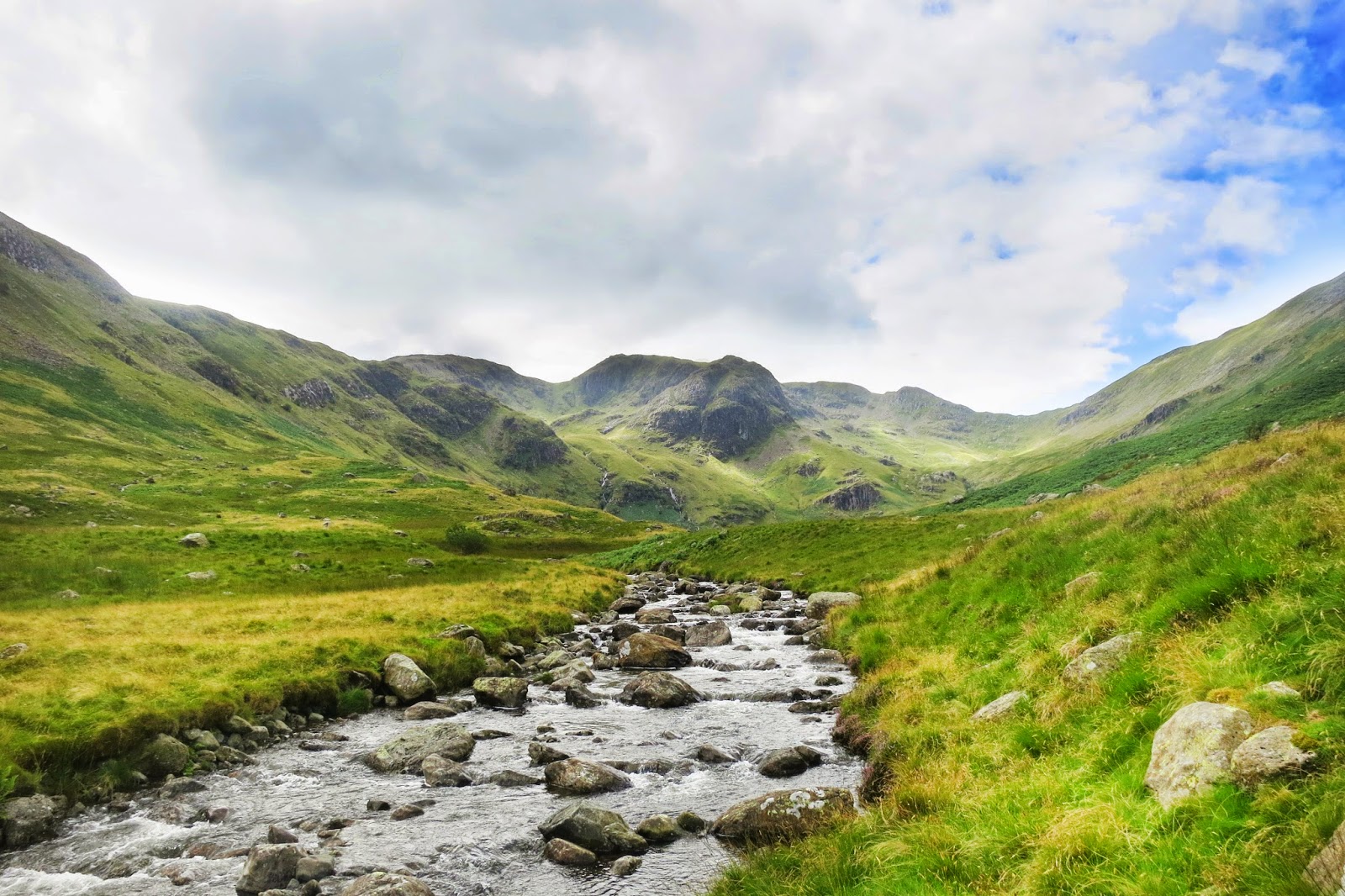
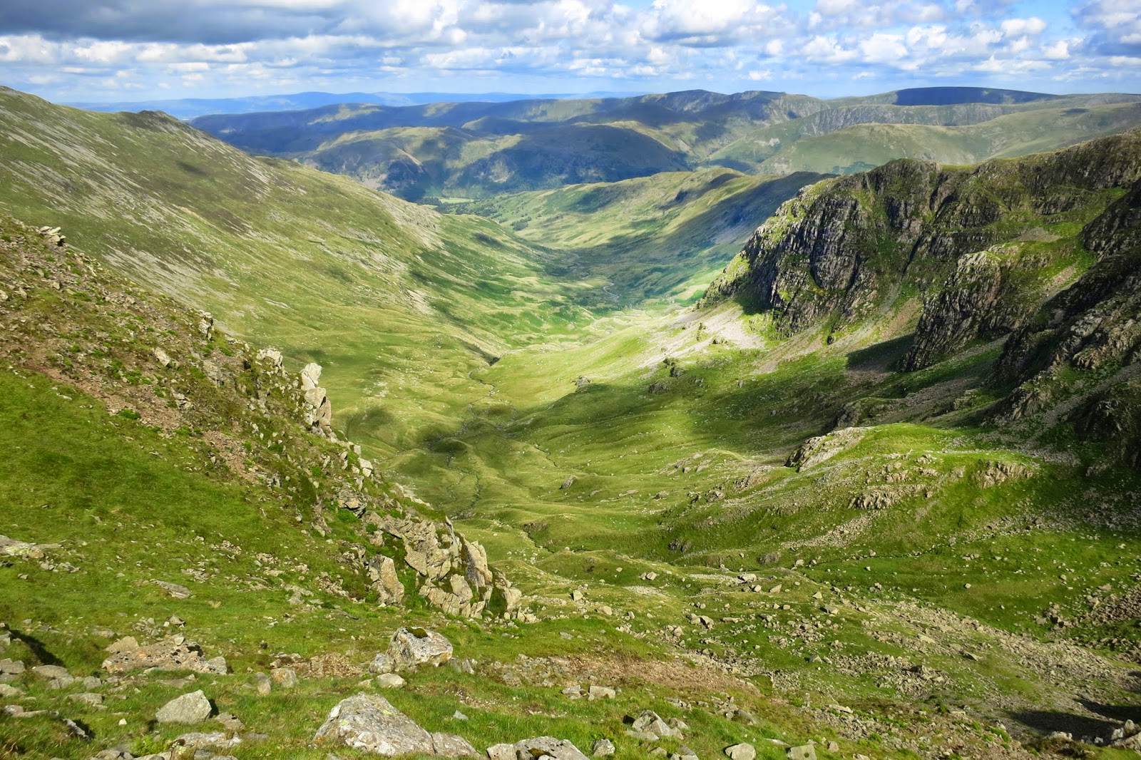
| Grisedale Tarn, en route up towards Dollywagon Pike |
Well what can I say! this was the Longest (7hrs!) Coldest (bottles of water froze!) Hardest (ever tried walking in snow for 10mile?) and Best Helvellyn Walk ever! :-) To this novice snow walker it felt like I'd been to the Himalayas and back in a day
It was my first Helvellyn Snow Walk, one I'd been wanting to do for a while. I'd been following the weather conditions all winter, waiting for the snow to arrive - and this was my chance. So me and my mate set off on the 2 hour drive to the Lake District. There was not a hint of snow on the ground (so roads where clear - which is useful to get there!) until we arrived in the lakes - where we could see the peaks covered in the stuff!
So we wrapped up warm to match the fell conditions report (inc ski jacket! & plenty of layers - we knew the windchill up top was around -15°C) and set off on our hike....
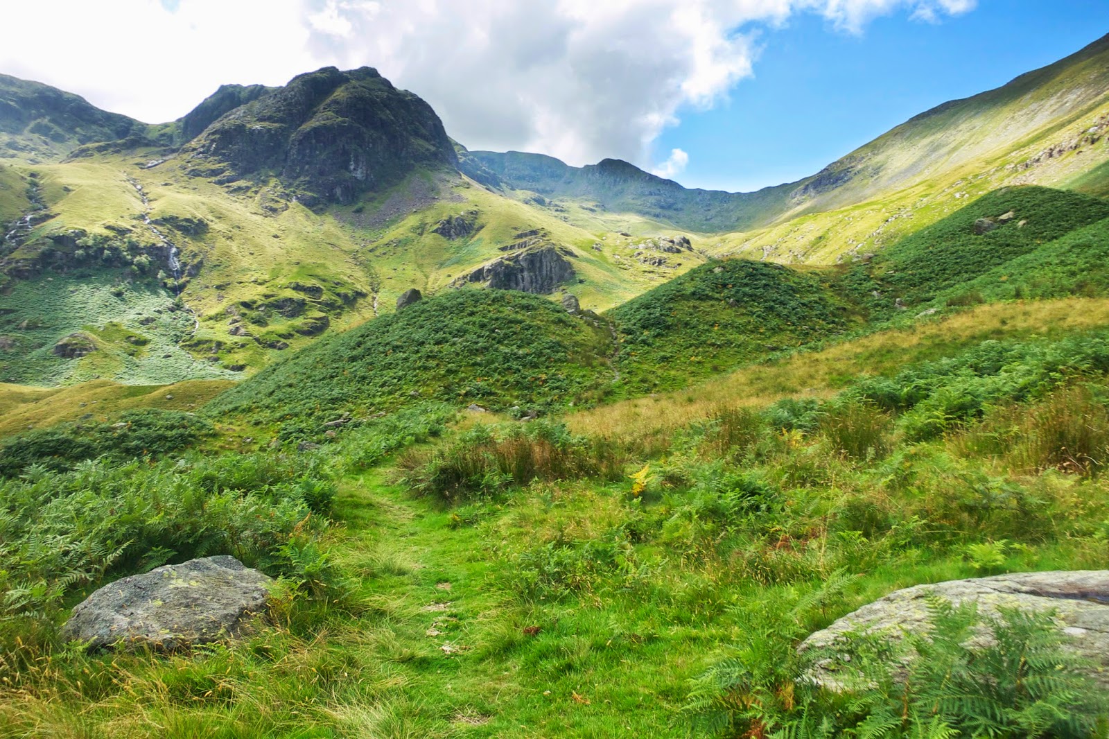
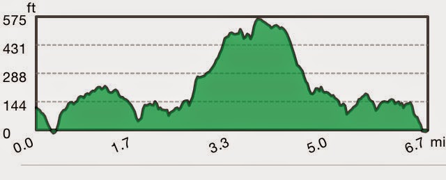
Usually when I've climbed Helvellyn before we've opted for striding Edge on the ascent and swirall edge on the decent. The edges are just a more exhilarating route I think. But with the snowy & icy conditions, and this being our first snow walk - we thought it might be a bit hairy (and potentially dangerous) going that way - so we opted for a more gentler, safer, but longer ascent/descent (route map below).
We started at Glenridding, stocking up with food supplies in the local corner shop. Not knowing what to expect temperature wise with the wind chill factor in exposed places - we thought it wise to be too warm than too cold. I wore my ski-jacket - and whilst it was a bit warm on the first gentle climb - later on at the summit of helvellyn I knew I'd made the right choice.
Some pics at the start of the walk.....
You begin to get pretty high pretty quickly on this route - getting your first great view of
Ullswater.
To begin we took the usual route we often take - which takes you past Lanty's Tarn. From that calm and peaceful place we headed up the Grisedale Valley. Normally we fork off up towards Striding Edge upon entering Grisedale Valley, however on this occasion we stayed in eth Valley and headed up to Grisedale Tarn.
Ruthwaite lodge above - a good little place to stop off for a bite to eat - and it just so happened that the lodge marked the snow line boundary. From here on in it was all snow and ice! So we went from no snow - to every where you looked was snow! From here we headed to Grisedale Tarn. Below you can see the peak of St. Sunday Crag.
After passing through the snow line at about 400m, everything around us was now white, and Grisedale Tarn was an amazing sight to see with everything covered in snow. This was the perfect place to stop, cool down a bit, have a cup of tea and get ready for the bigger climb ahead.
The weather forecast on the day did say sunny spells, and it was on the climb up to Dollywagon Pike where the sun did make its one and only appearance that day for about 30 seconds! I think we were in the best place in the area for that 30 seconds as Grisedale Tarn looked even more stunning with a glimmer of sunlight poking through the clouds and shimmering on its surface. So I guess the forecast was right in a way - but maybe should have said 'Sunny Spell'!
It was on the climb up towards Dollywagon Pike that I decided to put the Kahtoola Microspikes on over my boots that I had just got for Christmas. Up until now it was fine walking in my regular boots, although you had to be careful - but the spikes made a big difference, allowing me to even walk on bare icy rock without slipping, and meaning I could take in the views more rather than constantly watching where I am walking. I'd definitely recommend them if you are walking in icys/light snow conditions (link at bottom of page).
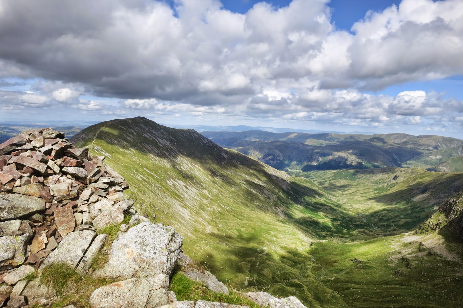
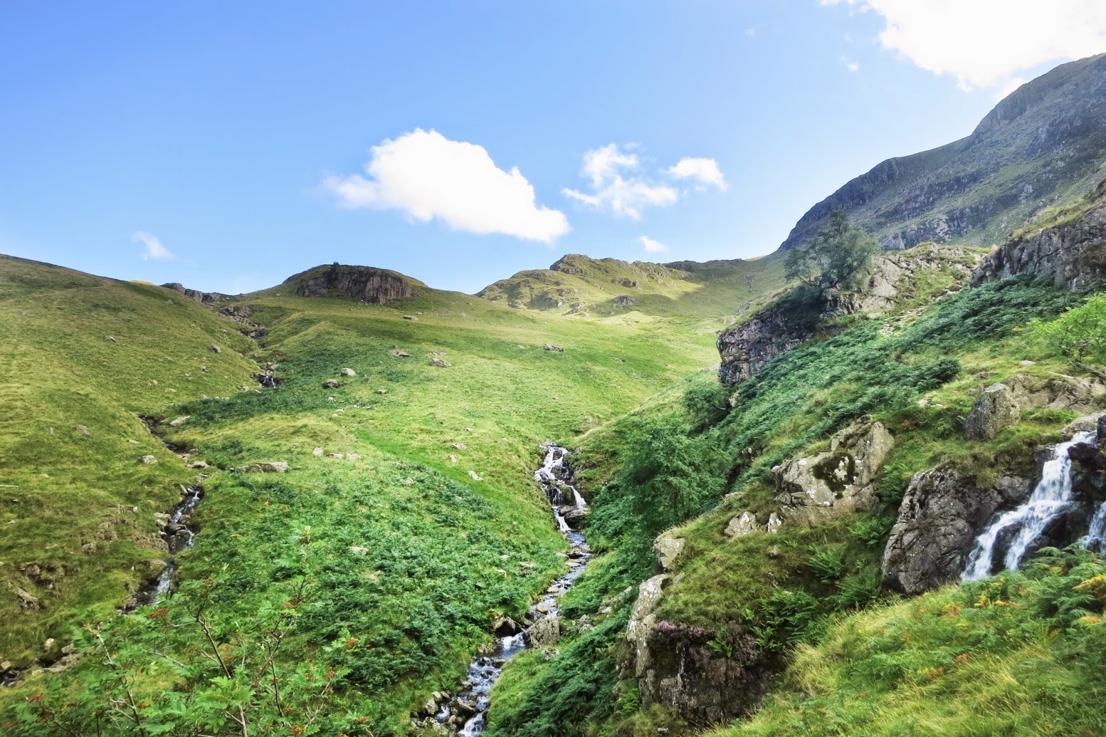
Below - the view down Grisedale Valley from Nethermost Pike.
Some nasty cornices on the peaks! We just followed the tracks and stayed away from the edges, knowing that it's these cornices that usually cause the deaths up on the snowy peaks.
The wind chill up top was crazy! Freezing cold - around -15°C to -20°C. Every part of our body was now under wraps, this is where your kit is important - thick gloves, buff, goggles if possible. Whenever I was taking my glove off to let me use the camera I've never felt my hands so cold - felt like I was risking frost-bite for the sake of taking pics - I hope you appreciate these pictures haha. More seriously I was taught an important lesson - as on one occasion my glove blew away and I nearly lost it! If I did lose it my hand would have suffered a lot - so next time I will definitely be taking spares of a lot of things!
I hoped these crazy people below were experts and knew what hey were doing going into the unknown down the face of nethermost pike!
 |
| Posing in front of Striding Edge to the right, with Red Tarn to the left. We didn't actually come up via Striding edge this time due to being rather difficult in snowy conditions without the right equipment |
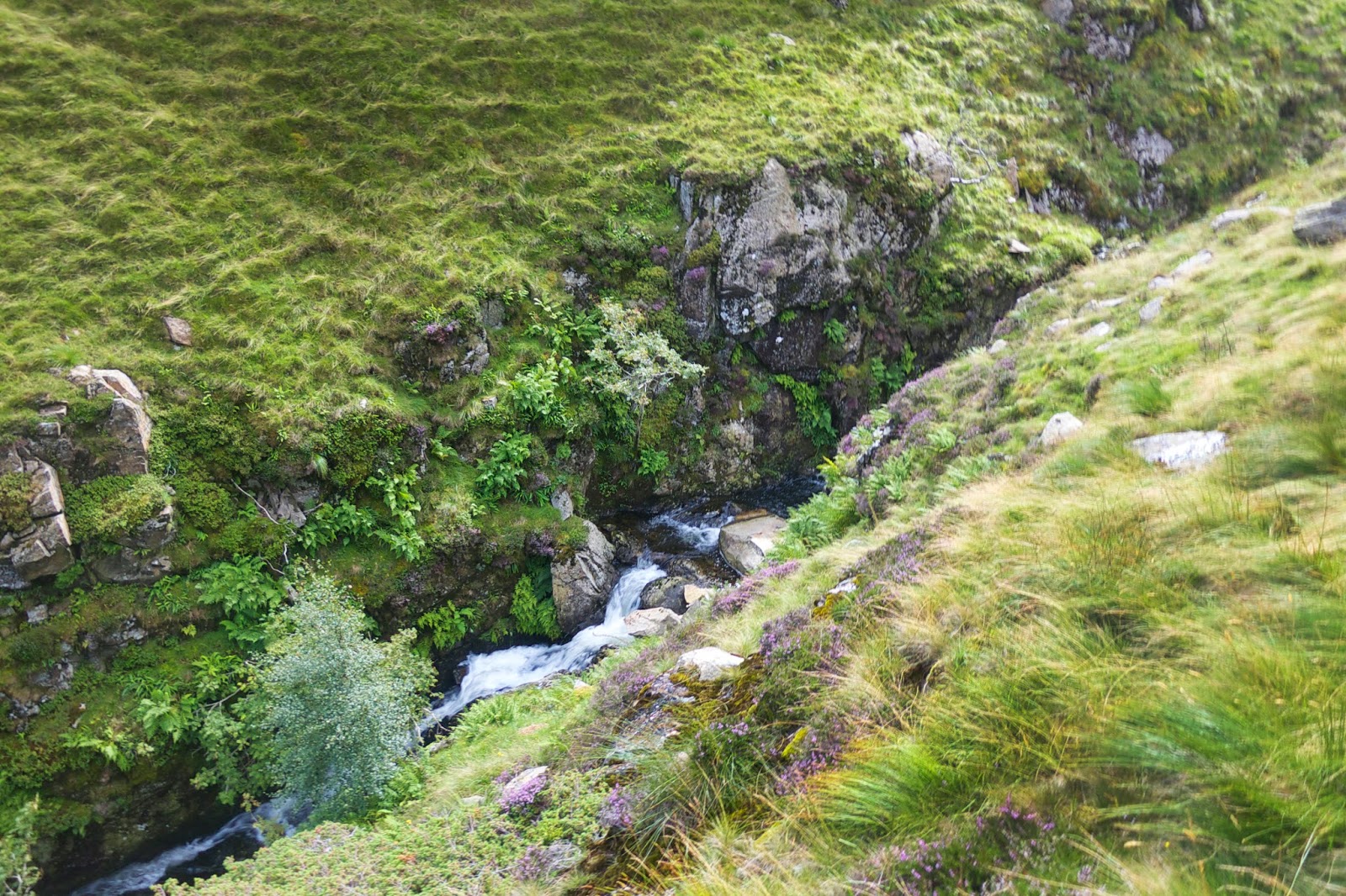
Frozen water! who'd have thought you could get dehydrated with all that snow and ice about!
At the end of the walk - as we approach Striding Edge Youth Hostel, all that snow becomes a distant memory and we enjoy the gentle stroll down back to Glenridding - knowing a drink and a hot meal in a local pub isn't that far away :-)
Essential Walking Kit in the Snow
I'm not a walking expert - but know the basics. As you can see from the photos - at ground level there was no snow - and on the peaks there was lots. There was also a big difference in temperature as you got higher - and the wind chill on top of the peaks made it quite hazardous, -15°C to -20°C is pretty damn cold! So make sure, as you should on any walk - that you get an accurate Fell report of the conditions up high, and you have the adequate clothing/kit to keep you comfortable at those temperatures. And always plan for the worst - what if you lost a bit of kit - could you survive without it? What if you became injured - do you have enough to keep you warm? Take spares of everything. Every part of your body needs to be undercover at those temperatures. I nearly learned this the hard way when I took my glove off to take a pic, it blew away - and I nearly lost it over an edge. With no glove on for even a few seconds my hand was freezing - and i didn't have a spare - fortunately I didn't lose my glove and could get it back. But next time I do this sort of walk I will definitely take a spare pair of gloves.
No Crampons? My answer was Kahtoola Microspikes
As I didn't have any crampons, which are quite expensive when you have to get the correct boots to go with them, I instead opted for an alternative -
Kahtoola Microspikes. These clip over existing boots (just make sure you get the right size - base them on getting a size above your shoe size). There are many different variations on the microspikes by different brands - but I done my research - thought that these were the best option - and after using them - I had no complaints and would definitely recommend them. Now crampons definitely have their uses, but the Kahtoola Microspikes done me for this trip. I planned to tread a common path on the hike, only following other peoples footsteps -and knew the route well. I would be staying well away from lots of fresh snow any definitely staying away from snow cornices (make sure you know what these are if you are going walking in the snow for the first time - most walking tragedies happen when walkers fall through Cornices).
I put on the Kahtoola Microspikes when I reached the ice/snow line, and you simply pull these over your boots - 10 second job, and they are great. Giving me more more grip and confidence to even stand on icy rock with no fear of slipping. You hardly even know you have them on as they feel quite comfortable. Now I wouldn't plug any old thing on here, unless I thought they were something good - and these are. If ever you are doing a walk and there is the possibility of ice or snow on route - try and put a pair of these
Kahtoola Micro spikes in your bag incase conditions get difficult.
By the way if you click the below image and end up purchasing some through amazon - I'm supposed to get a small amount of commission - so it would be very much appreciated.
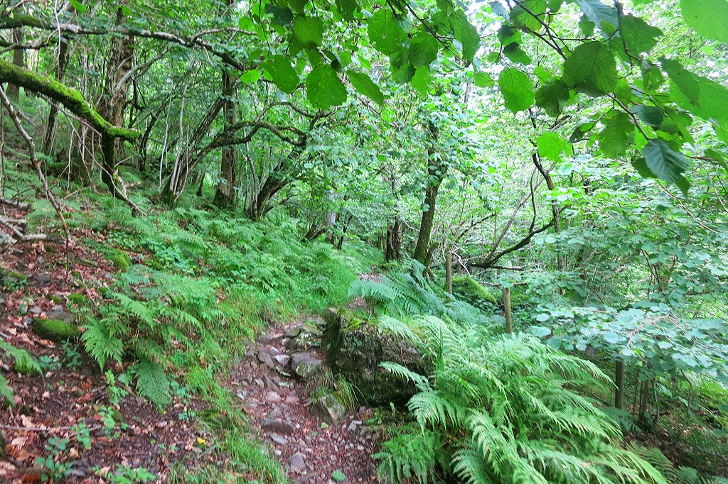
Finally - to see this same walk in this blog post in summer, including photos - check out this page - and indeed the full website - great resource for walkers!
http://www.leaney.org/lake_district_walk.php


 in the county of Cumbria, which is in the north-west of England.")


 on a walk to Blencathra")


, starting and finishing in Osmotherley, and walking on some of the Cleveland Way Route")


